



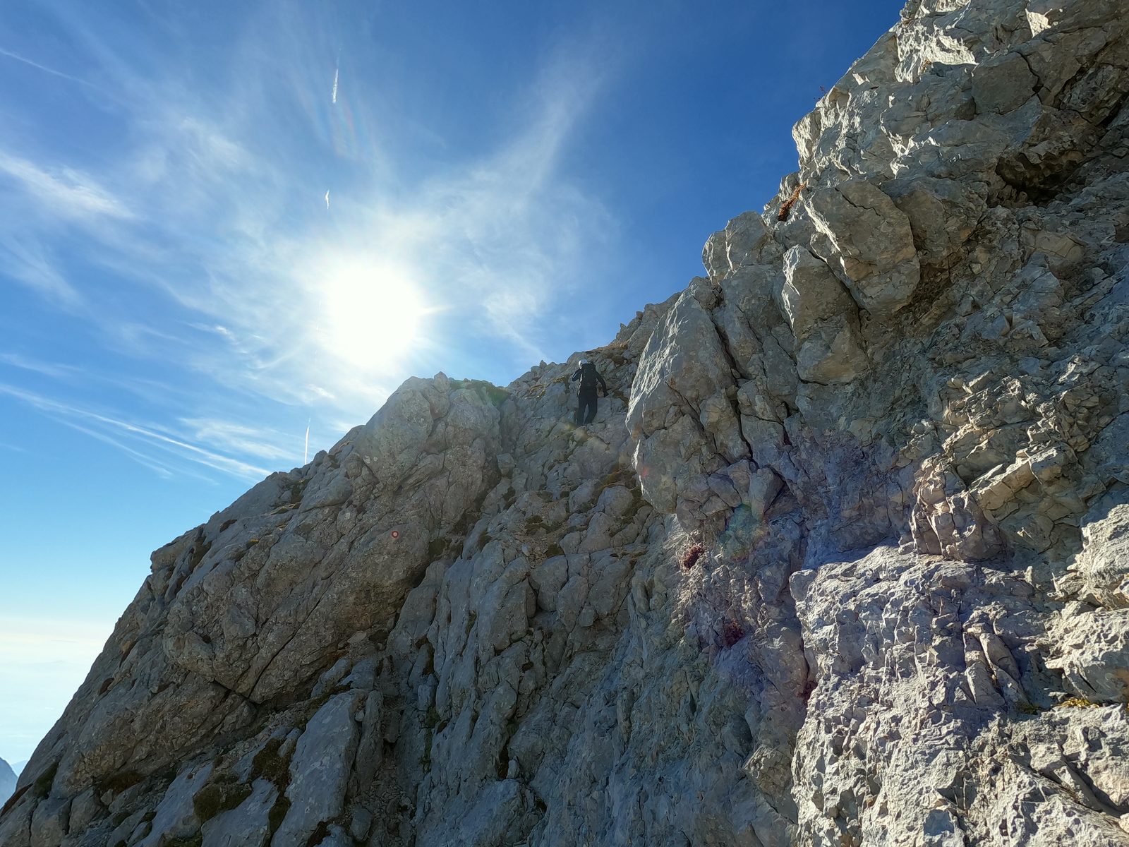
Skuta is the third-highest peak in the Kamnik-Savinja Alps, and the route via Turski žleb is very attractive and one of the finest in the Slovenian Alps. We decided to do it in a single day, although sleeping at the Okrešelj hut or in the new bivouac below Skuta is a good option too.
We left Zagreb around 7 a.m. and drove about 3.5 hours to Logarska dolina. The ascent and descent took around 9 hours in total.
Video from the Skuta climb:
Hiking to Skuta from Logarska Dolina
Entry to Logarska dolina costs €10. Drive to the parking lot, then walk to the Rinka waterfall at the very end of the valley. It takes about 10 minutes.
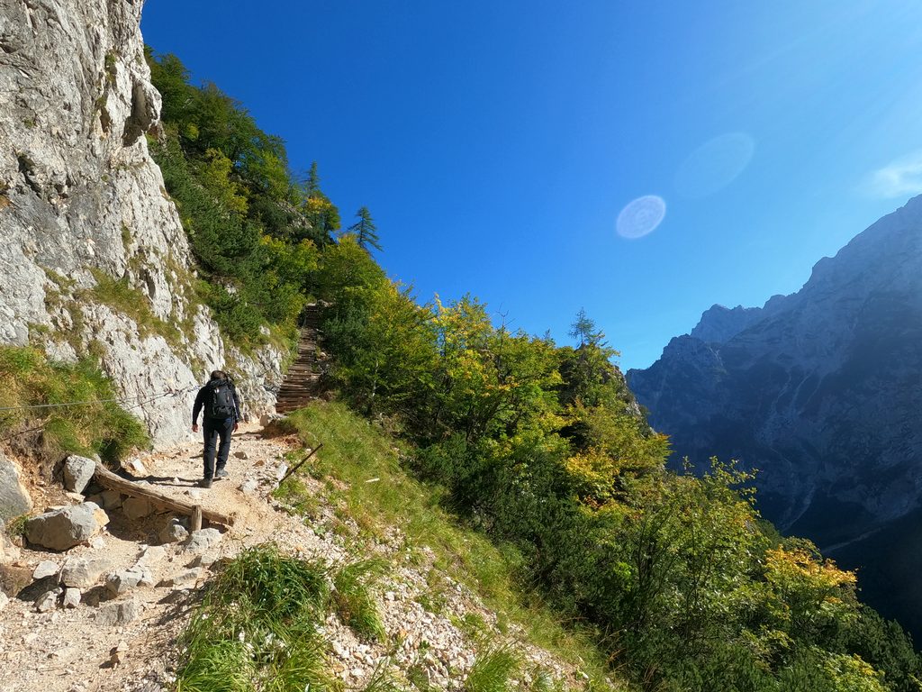
After the waterfall, a well-marked trail leads to the Okrešelj hut. In dry conditions it takes 30 to 45 minutes.
From the hut, a trail branches off towards Turski žleb, which you’ll reach in about half an hour. And this is where the real fun begins.
Turski žleb
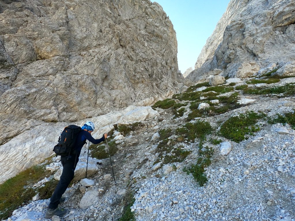
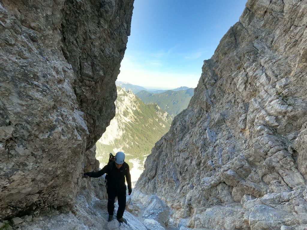
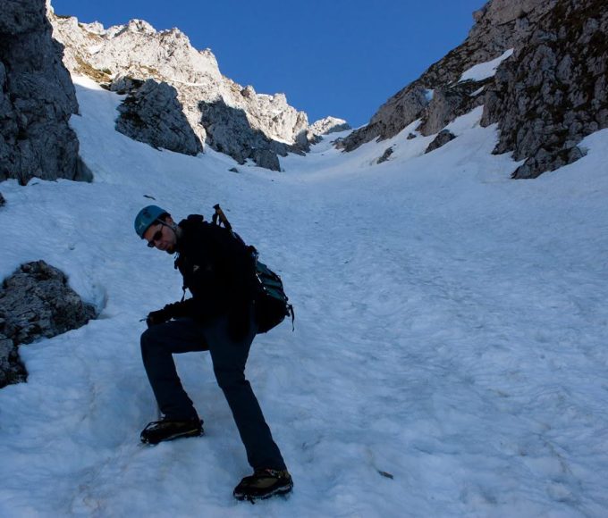
Turski žleb is a steep, rocky couloir, and a very attractive one to climb. A helmet here is not a formality but a genuinely good idea, especially if there are other people on the trail, because falling rocks don’t choose who they hit. Official descriptions rate the route as very demanding and recommend a helmet and a self-belay set even in dry conditions.
In summer, the biggest problem is rockfall, which reminded me of the “couloir of death” (Grand Couloir) on Mont Blanc. Caution is essential, especially if someone is above you. We were alone on the route, and Pavle still dislodged a rock that would have taken out anyone below if it had hit them by some unlucky chance.
In winter, climbing Turski žleb is a real treat. When the ice is solid and there’s no fresh snow, your ice axe and crampons bite beautifully and you get to enjoy a perfect landscape. In summer, on the other hand, it’s a bit of a game of Russian roulette.
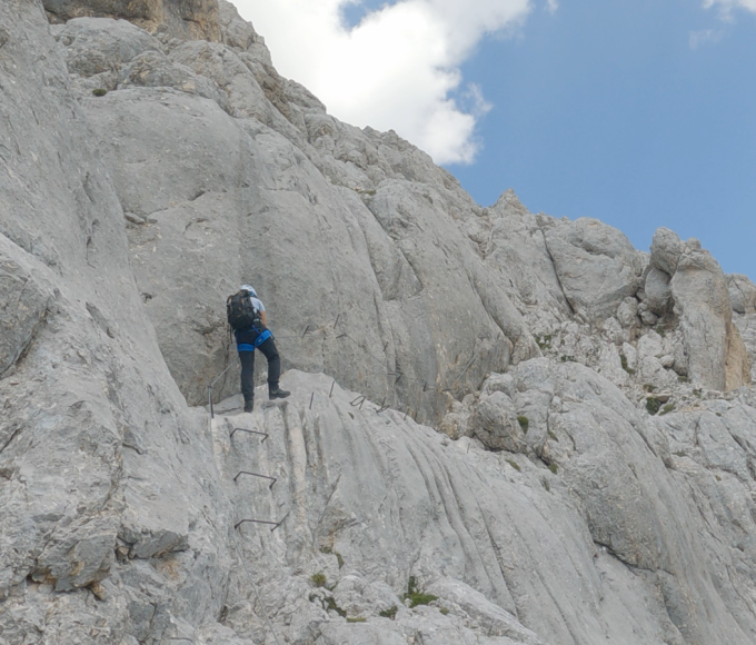
Once you’re through the first part of the couloir, you’ll find pegs, a few cables and steps cut into the rock on your right. You can clip into this via ferrata if you want to. We didn’t, as we judged it unnecessary, but it’s a personal call.
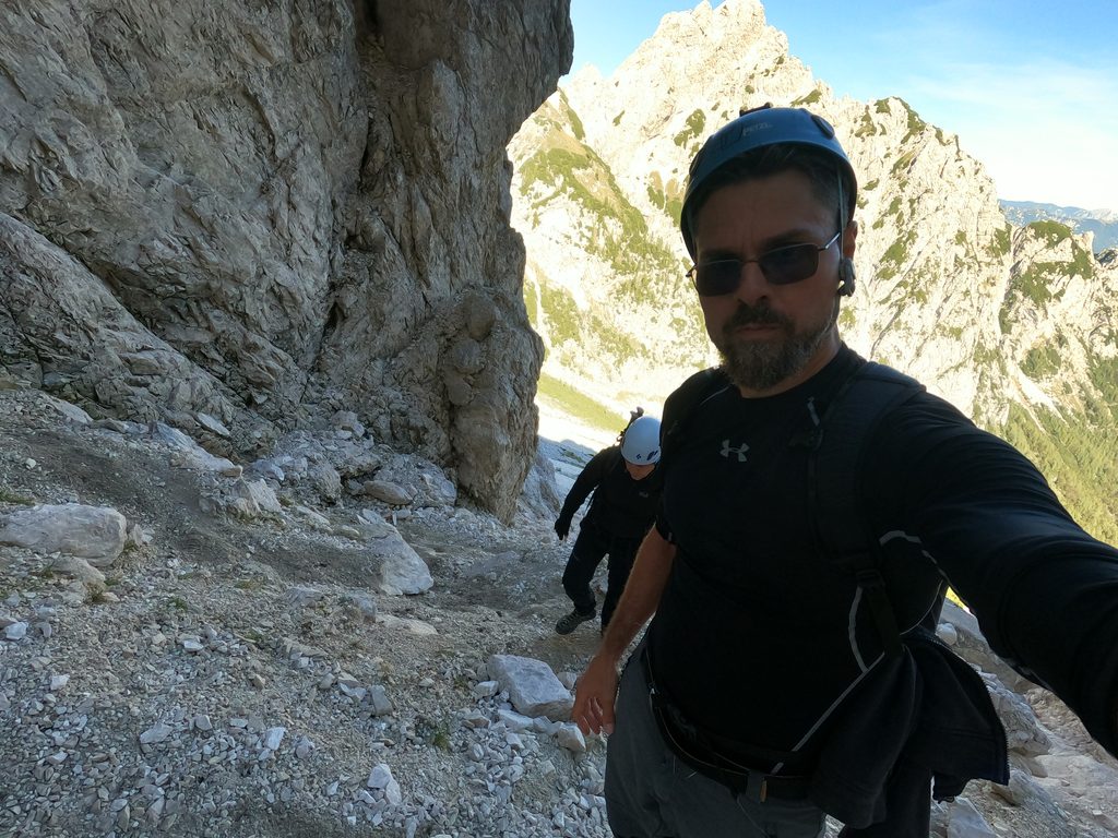
From Turski Žleb to Skuta
Once you climb out of the couloir, you’re standing below Turska gora. Its summit takes about 25 minutes in summer and twice that in winter. From here you can also head towards Rinka (about 1 hour) or, like us this time, towards Skuta.
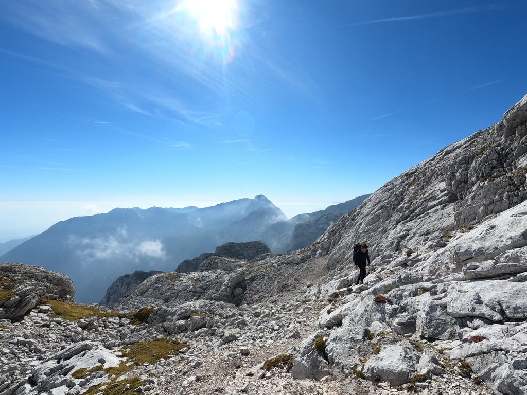
The official time from here to Skuta is 2 hours. It took us about an hour and a half, but the weather was beautiful and conditions were good.
The terrain up to the rock face of Skuta is fairly flat, with a few secured sections. Down on your left you’ll see the new, modern bivouac below Skuta. After 30 to 45 minutes you’re back in the rock, and a well-marked but exposed path leads you to the summit.
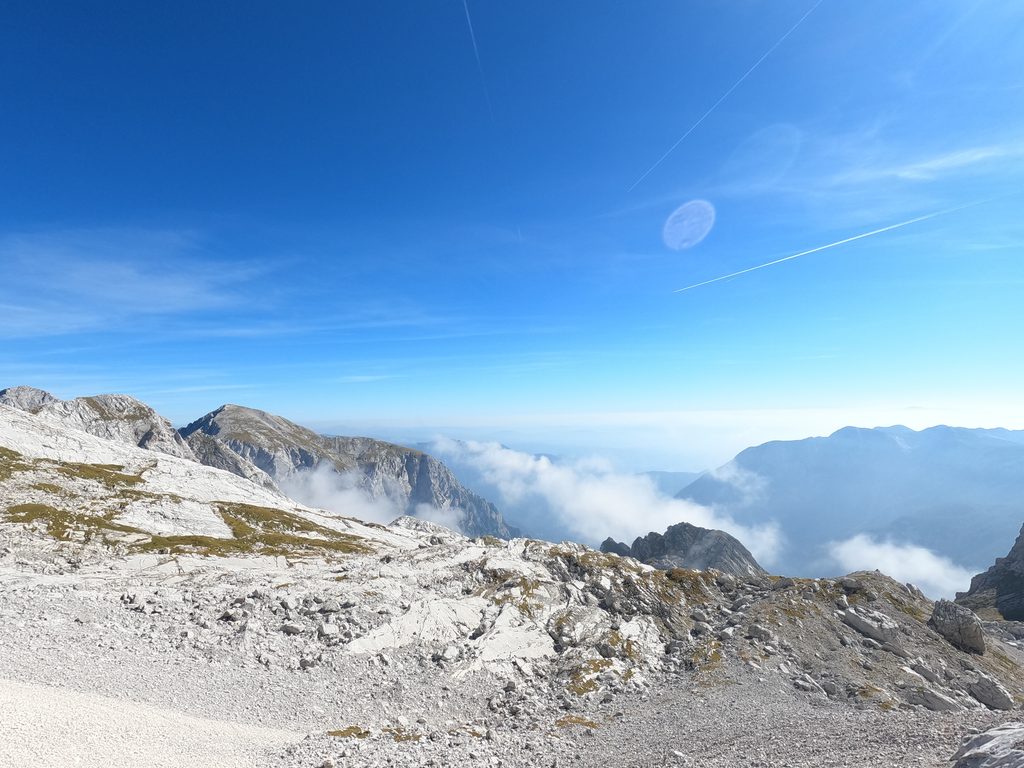
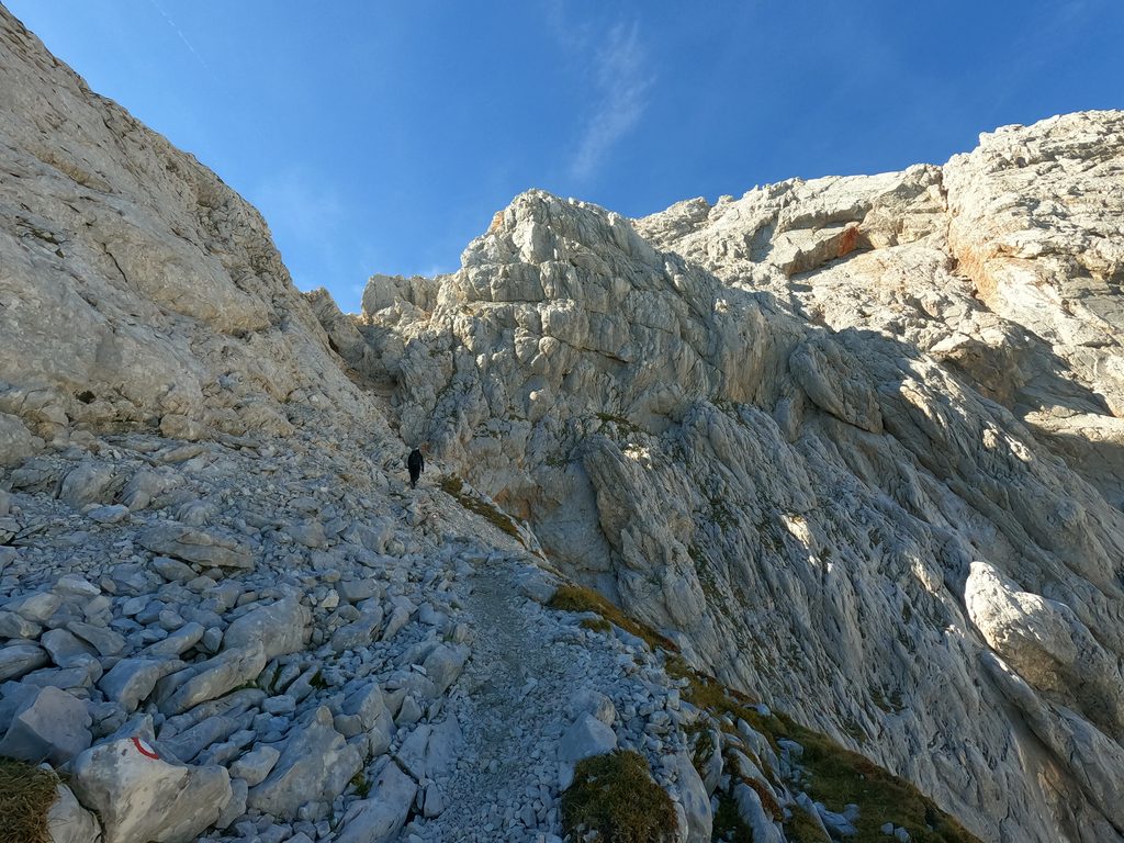
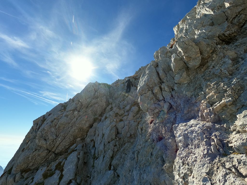
Skuta – 2.532 m
Skuta lies between Grintovec and Rinka, and from the summit a huge view opens up over the whole Kamnik-Savinja Alps. The peak is quite spectacular if you get it in nice weather.
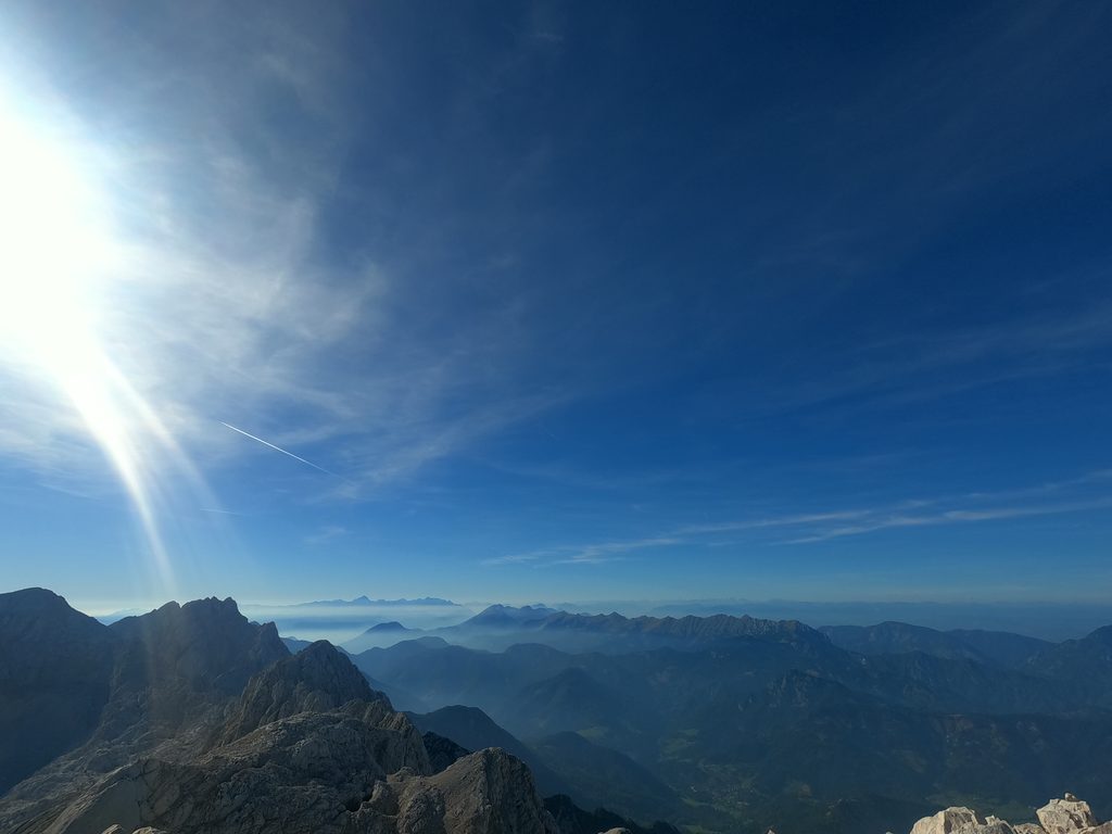
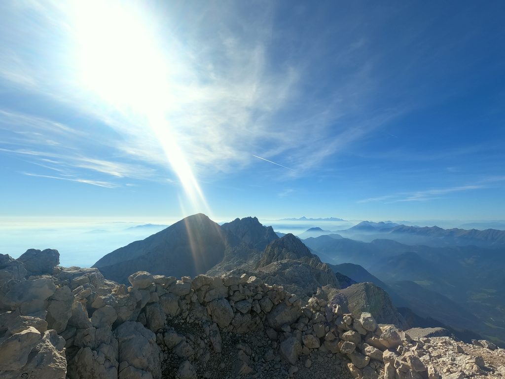
Descending Skuta
Save enough energy for the descent, because steep, rocky sections await, first on Skuta itself and then in Turski žleb. They demand your full concentration, and the descent is exactly where most mistakes happen. Leave yourself enough daylight and time.
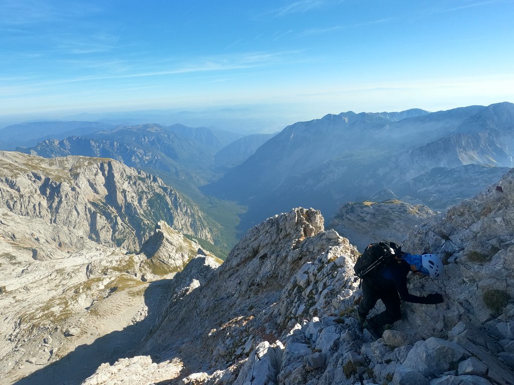
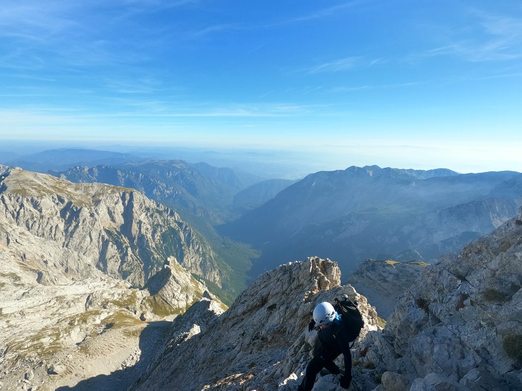
Once you’re out of the couloir, you can easily walk to the parking lot even in the dark. From the summit of Skuta to the parking lot in Logarska dolina takes about 4 hours.
How Difficult Is Skuta from Logarska Dolina?
Quite.
I wouldn’t recommend this tour to someone going into serious mountains for the first time. The problem isn’t just the elevation gain, but the combination of a long ascent, demanding terrain, secured sections and high-mountain conditions that can change quickly.
If it’s wet, foggy, or there’s heavy rain, wind or winter conditions, the whole thing gets more serious. So before you set off, check the forecast, the trail conditions and your own fitness. If conditions aren’t good, Skuta will still be there another time.
Skuta via Turski Žleb: Practical Information
| Starting point | Rinka waterfall, Logarska dolina |
| Summit | Skuta, 2,532 m |
| Elevation gain | approx. 1,500 m |
| Hiking time | about 5 hours to the summit, plus about 4 hours to descend (depending on conditions and pace) |
| Difficulty | very demanding marked mountain trail |
| Route | Logarska dolina → Rinka waterfall → Okrešelj → Turski žleb → Skuta |
| Best time | summer and early autumn, when there’s no snow or ice in the couloir. Personally, I prefer it when there’s snow, because then there’s no rockfall, but that depends on your experience. |
In summer conditions, a helmet and a self-belay set are recommended on the secured sections. In winter conditions, an ice axe and crampons are essential.
Gear for Skuta via Turski Žleb
- helmet
- hiking boots with good grip
- gloves (I don’t wear them, but they’re useful on the cables)
- enough water
- food for a long day
- self-belay set for the secured sections (optional)
- trekking poles for the easier parts (better to stow them in the couloir)
- headlamp
- warm clothing and a rain jacket, because the weather changes quickly at altitude
- depending on the season and conditions, crampons and an ice axe
Is Skuta a Good Day Hike?
Yes, but it’s a long day.
From Zagreb specifically, the drive to Logarska dolina takes about 3.5 hours one way, followed by around 9 hours on the trail. So start early and expect to get home late in the evening. If that sounds like too much, consider staying overnight in the valley.





Leave a comment