



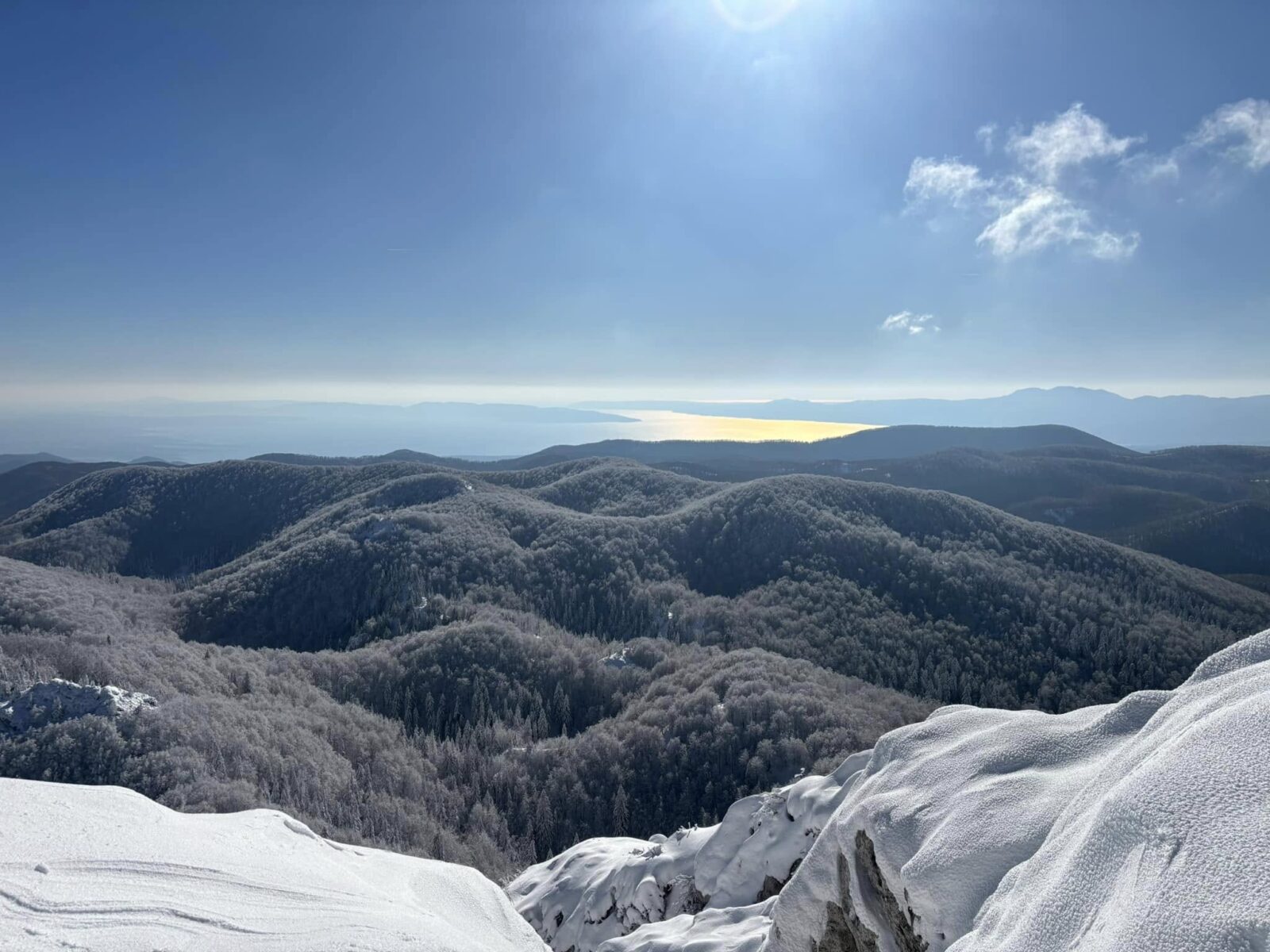
Risnjak National Park is one of Croatia’s most underrated hiking destinations.
Located in the forested region of Gorski Kotar, between Zagreb and the Adriatic coast, it offers something very different from the more famous parks. Instead of waterfalls or crowded viewpoints, Risnjak is about dense wilderness, quiet trails, and raw mountain terrain.
For hikers, it sits somewhere between beginner-friendly forest walks and more serious mountain routes – making it one of the most versatile places to hike in Croatia.
This guide covers the best routes, weather conditions, and what to realistically expect.
General Info
- Entrance fee: app €7 for adults off-season, app €10 in-season (July–August)
- Opening hours: Summer 8:00 AM – 6:00 PM, Winter 9:00 AM – 4:00 PM
- Where to buy tickets: At the Info Center in Crni Lug (also available online in advance)
- Distance: 140 km from Zagreb, 35 km from Rijeka
- Park entrances: The park has two main access points:
1. Bijela Vodica (near Crni Lug), the main entrance with the info center, used for the Veliki Risnjak route,
2. Vilje (reached via Gornje Jelenje, then a forest road to the parking area), the access point on the Snježnik/Guslica side. There are also seasonal info points (May–October) at Razloge and Kupari for visitors heading to the Kupa spring.
Here is a video of a winter hike to the summit of Veliki Risnjak:
Why hike in Risnjak?
Risnjak is often described as a “forest park,” but that’s only half the story.
It’s actually a transition zone between the Alps and the Dinaric Mountains, with rugged peaks, deep forests, and alpine-like ridges.
What makes it unique:
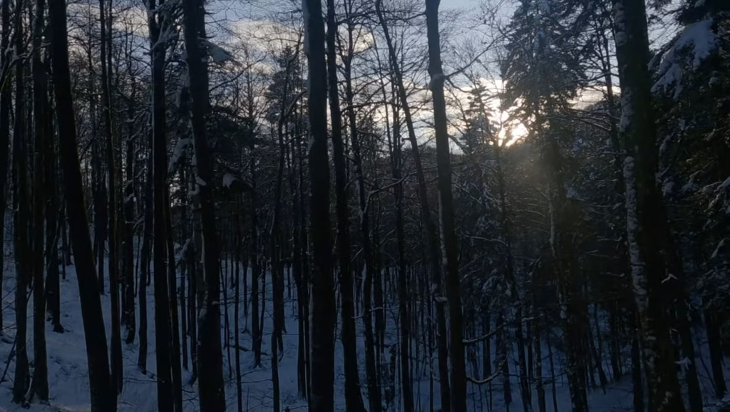
- Dense beech, fir, and spruce forests
- Rocky mountain peaks above 1,500 m
- Fewer crowds than Plitvice or Paklenica
- A cooler climate, even in summer
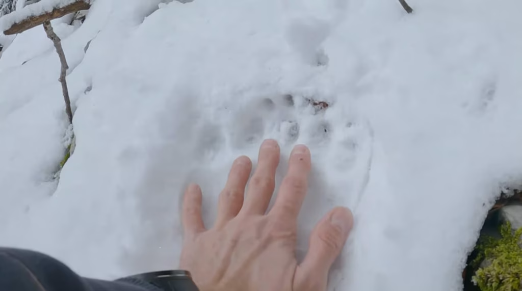
- Real wilderness (including bears, lynx, and wolves)
This is where you go if you want: quiet, nature, and a more authentic mountain experience
If you are looking for a guided hike in Risnjak National Park, you can hire me as your guide on Get Your Guide, or contact me directly.
Best hiking routes in Risnjak – Risnjak national park trails
Risnjak offers everything from short educational trails to full mountain ascents.
Veliki Risnjak Summit
Best for: Moderate to experienced hikers
- Duration: ~5–7 hours (round trip)
- Elevation gain: ~700–900 m
- Start: Crni Lug / Bijela Vodica
This is the main objective for most hikers — the summit of Veliki Risnjak (1,528 m), the highest peak in the park.
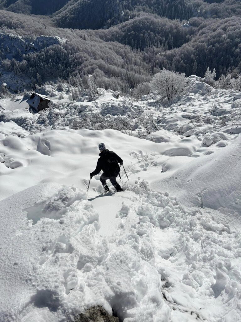
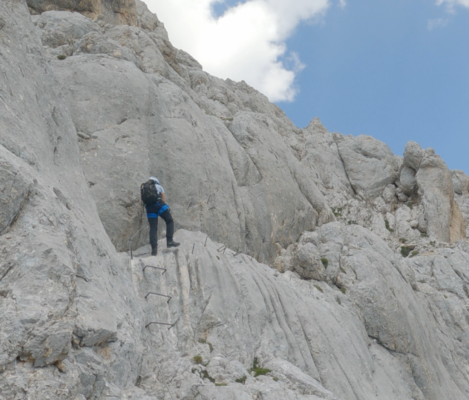
The trail begins in forest terrain and gradually becomes steeper and rockier as you approach the summit. The final section includes exposed limestone and requires careful footing.
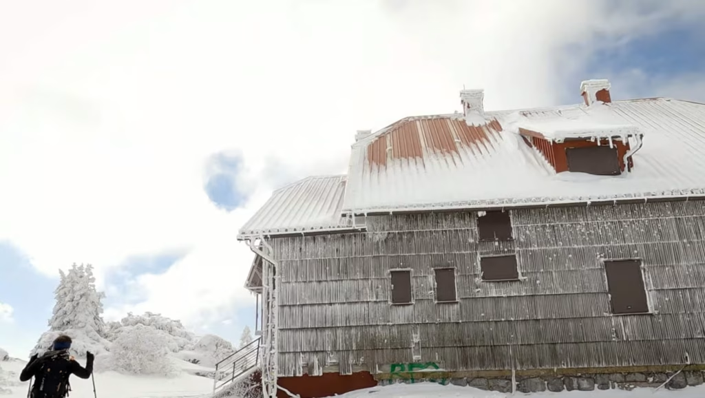
Near the top, you’ll find a mountain hut (Schlosserov dom) just below the summit, followed by panoramic views that can stretch all the way to the Adriatic Sea and even the Alps on clear days. The hut is closed due to renovation.
A classic mountain hike with a real sense of progression.
Safety on the Ridge
Risnjak’s weather can turn quickly, and the terrain near the summits leaves little room for error if visibility drops. A few things worth knowing before you go:
If fog rolls in on the ridge
Don’t push forward hoping it clears. Stop, get your bearings using the marked trail signs (red-and-white markings), and if visibility drops below a few meters, wait it out in a sheltered spot rather than continuing blind. Fog on exposed limestone sections near the summit is disorienting even on familiar routes — this is where most navigation mistakes happen.
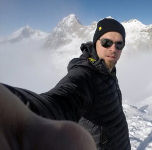
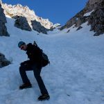
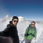
In winter, heavy snow makes the final summit push a challenge – do not underestimate it.
If you’re unsure about conditions or route-finding on the ridge, going with a guide removes most of that risk – feel free to get in touch.
Emergency contact
In case of emergency, call 112 (the general European emergency number, which connects to HGSS – the Croatian Mountain Rescue Service). Have your approximate location ready if possible; GPS coordinates help rescue teams enormously.
To avoid getting caught in this type of situation, come prepared.
General rule of thumb
If the weather looks uncertain, treat the summit as optional. Risnjak’s forest sections are rewarding on their own, and turning back before the exposed terrain is always the safer call.
What to Pack
Risnjak’s terrain shifts from forest trails to exposed, rocky ground near the summits, and the weather can change fast – so it’s worth packing properly even for shorter routes.
Essentials, year-round
- Sturdy hiking boots with ankle support
- Layered clothing – even summer days can turn cold and damp near the ridge
- A waterproof/windproof shell – fog and light rain are common, even when the forecast looks clear
- Trekking poles – especially useful for the descent from Risnjak’s summit
- More water than you think you’ll need – sources are limited on the higher routes
- A charged phone and, ideally, a GPS device or an offline map – signal can be patchy near the summits
- Basic first aid kit
Seasonal additions
- Spring/Autumn: Extra insulating layer, gloves – mornings can be near freezing even when afternoons are mild
- Summer: Sun protection despite the cooler climate – UV exposure is still strong above the treeline. So, sunscreen and a hat at least.
- Winter: Crampons or microspikes, gaiters, and proper winter mountaineering experience – this isn’t a season for casual hikers without the right skills and gear.
A guide’s note
Even experienced hikers underestimate Risnjak because it doesn’t look as dramatic as Velebit or the Alps on paper. The forest cover hides how quickly conditions change once you’re above it – pack as if you’re heading into real mountain terrain, because you are.
Snježnik
Best for: Slightly easier summit alternative
- Duration: 2 hours (round trip)
- Elevation gain: ~600–800 m
- Start: Platak or nearby access points
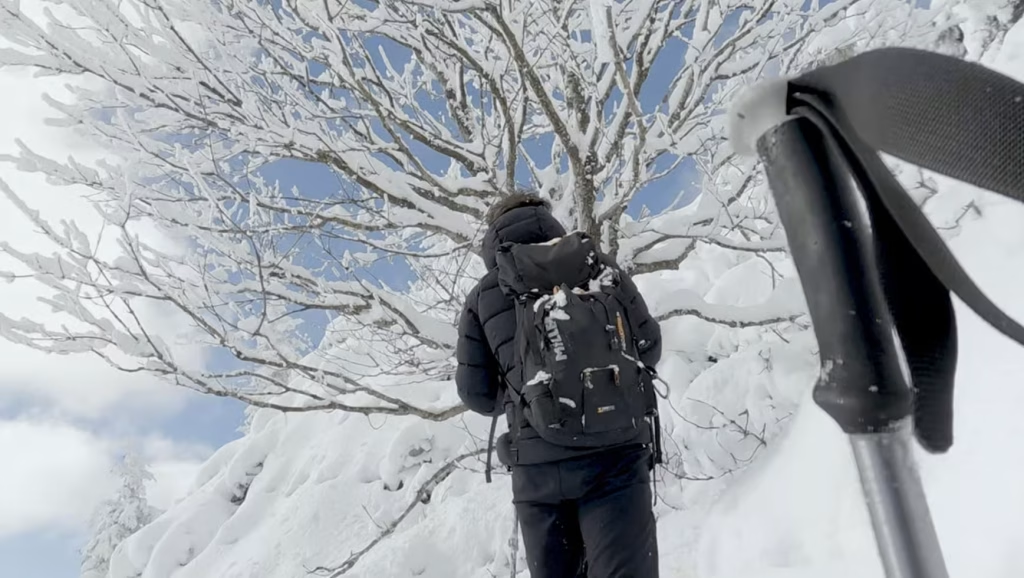
Snježnik (1,506 m) is often considered one of the most scenic peaks in the area.
The terrain is less rugged than Risnjak, but still offers a proper mountain feel, with open ridges and wide views.
A great option if you want:
- a summit experience
- slightly less technical terrain
Guslica
Best for: Moderate hikers looking for a quiet summit with wide views
Duration: 3 -4 hours (one way, depending on route)
Elevation gain: ~500–700 m
Start: Gornje Jelenje / Platak area
During the time of Yugoslavia, Guslica was a military base kept under strict secrecy. The many antennas visible at the summit led to constant speculation about their purpose.
Various stories circulated — some claimed the entire mountain had been excavated and transformed into a base designed for use in the event of a nuclear war. After the Yugoslav People’s Army (JNA) abandoned the site, the truth became clear. The mountain had indeed been heavily developed, with a network of tunnels and rooms spread across four underground levels. These facilities were built to support around 50 people living below ground.
The site was not immediately taken over by the Croatian Army, and for a period it was left unprotected, which led to extensive vandalism and looting. Much of the infrastructure was destroyed or stripped.
Today, one building at the summit has been restored, and modern GSM antennas have been installed.
Because the area was previously restricted, the peak itself is not marked in the traditional mountaineering sense — there is no summit register or official stamp.
However, the views from the top are open and expansive in all directions. Particularly striking are the views toward the Risnjak ridge, including peaks like Veliki Risnjak, Snježnik, and Jelenc. To the southwest, you can see Učka, Fratar, Obruč, and much of the Kvarner Bay.
The Source of the Kupa River
Best for: Easy walkers, families, anyone wanting a lighter day in the park
Duration: app 30–45 minutes (one way, from Razloge)
Start: Razloge or Kupari
Not every highlight in Risnjak requires a summit push. The source of the Kupa River is one of the park’s most striking natural features – and one of its easiest to reach.
The river emerges from an oval, turquoise-colored lake, framed by cliffs roughly 100 meters high. The color and clarity of the water come from the karst geology beneath the park, and the setting has earned this stretch of the valley its nickname: the “Valley of Butterflies.”
The walk down from Razloge follows a series of switchbacks through forest, with the lake appearing gradually as you descend. It’s a manageable route for most fitness levels, though it does mean a climb back up on the return.
A few practical notes:
- After heavy rain, the approach to the spring can flood and become inaccessible – check conditions beforehand
- The info point at Razloge/Kupari only operates seasonally, from May to October
- Bring proper footwear even though this isn’t a summit route – the path can be uneven and slippery near the water
For hikers combining this with a longer day, the Kupa source pairs well with a visit to the Leska educational trail near the main entrance.
Weather in Risnjak (often underestimated)
Risnjak’s weather is very different from the coast — and even from Zagreb.
Cooler and wetter climate
Gorski Kotar is known for:
- more rainfall
- lower temperatures
- frequent fog
Even in summer, it can feel significantly cooler than coastal areas.
Rapid changes
Conditions can shift quickly:
- clear at the start
- fog or wind near the summit
Visibility can drop fast, especially on higher terrain.
Seasonal overview
- Spring: fresh, but often wet
- Summer: best conditions, cooler than coast
- Autumn: beautiful colors, unstable weather
- Winter: snow, requires proper equipment
Best hiking period:
May – October
What to expect (realistically)
It’s quieter than other parks
Risnjak has:
- fewer tourists
- minimal infrastructure
don’t expect crowds or facilities.
Trails are well-marked — but not “touristy”
You’ll find:
- classic red-white hiking markings
- fewer signs than tourist parks
Navigation still requires attention.
Terrain becomes alpine near the top
Lower sections:
- forest trails
Upper sections:
- rocky, uneven terrain
- exposed areas
Wildlife is real (but rarely seen)
Risnjak is home to:
- bears
- wolves
- lynx
Encounters are rare, but possible, and it adds to the feeling of true wilderness.
Limited water sources
- not all trails have reliable water
- summer conditions can be dry
Always carry enough water.
Do you need a guide in Risnjak?
Technically, no – many trails are accessible independently.
But in practice, a guide makes a difference, especially if:
- You’re unfamiliar with the Croatian mountains
- You are a beginner hiker
- You want to reach a summit efficiently
- You’re unsure about the weather or the route choice
- You want a more relaxed, worry-free experience
What does a guided hike improve?
Instead of:
- checking maps
- guessing routes
- worrying about conditions
You get:
- a route adapted to your level
- safer decision-making
- local knowledge
- a smoother overall experience
Risnjak is one of the most authentic hiking experiences in Croatia.
It doesn’t have the instant “wow” factor of waterfalls or dramatic cliffs — but it offers something deeper:
silence, forest, and real mountain terrain.
For many hikers, it becomes a highlight precisely because it feels less like a tourist destination and more like a true wilderness area.
Planning a hike in Risnjak?
I offer private and small-group guided hikes in Risnjak – from relaxed forest routes to full summit ascents of Veliki Risnjak or Snježnik.
Each hike is tailored to your experience level, pace, and mountain conditions.
Get in touch to plan your hike – no commitment.





Leave a comment